
From complex information to operational clarity.
OsinTerra collects, analyzes, and transforms business, geographic, and field data into actionable intelligence and purpose-built systems.
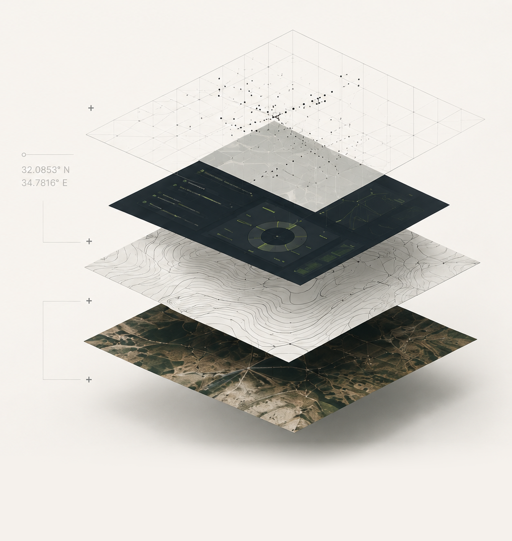
We work across complex environments and sectors
InfrastructureEnergyHazardous EnvironmentsAir & Autonomous SystemsStrategic Intelligence
Three layers of capability. One integrated approach.
01
Intelligence
Rapid understanding across unfamiliar and complex domains.
- Business & infrastructure intelligence
- Open-source & proprietary research
- Geo-intelligence
- Specialized datasets & briefings
02
Spatial
Deep analysis of terrain, field conditions, and environments.
- Terrain, geology & hydrology
- Hazardous area mapping
- Accessibility & infrastructure analysis
- Risk, suitability & change mapping
03
Systems
Purpose-built tools for planning, operations, and technology teams.
- Custom applications & platforms
- AI-assisted analysis workflows
- Data pipelines & automations
- Decision-support tools
How we turn complexity
into action
One problem. Three layers of capability.
We connect information, terrain, and technology to transform complexity into action.
Our Approach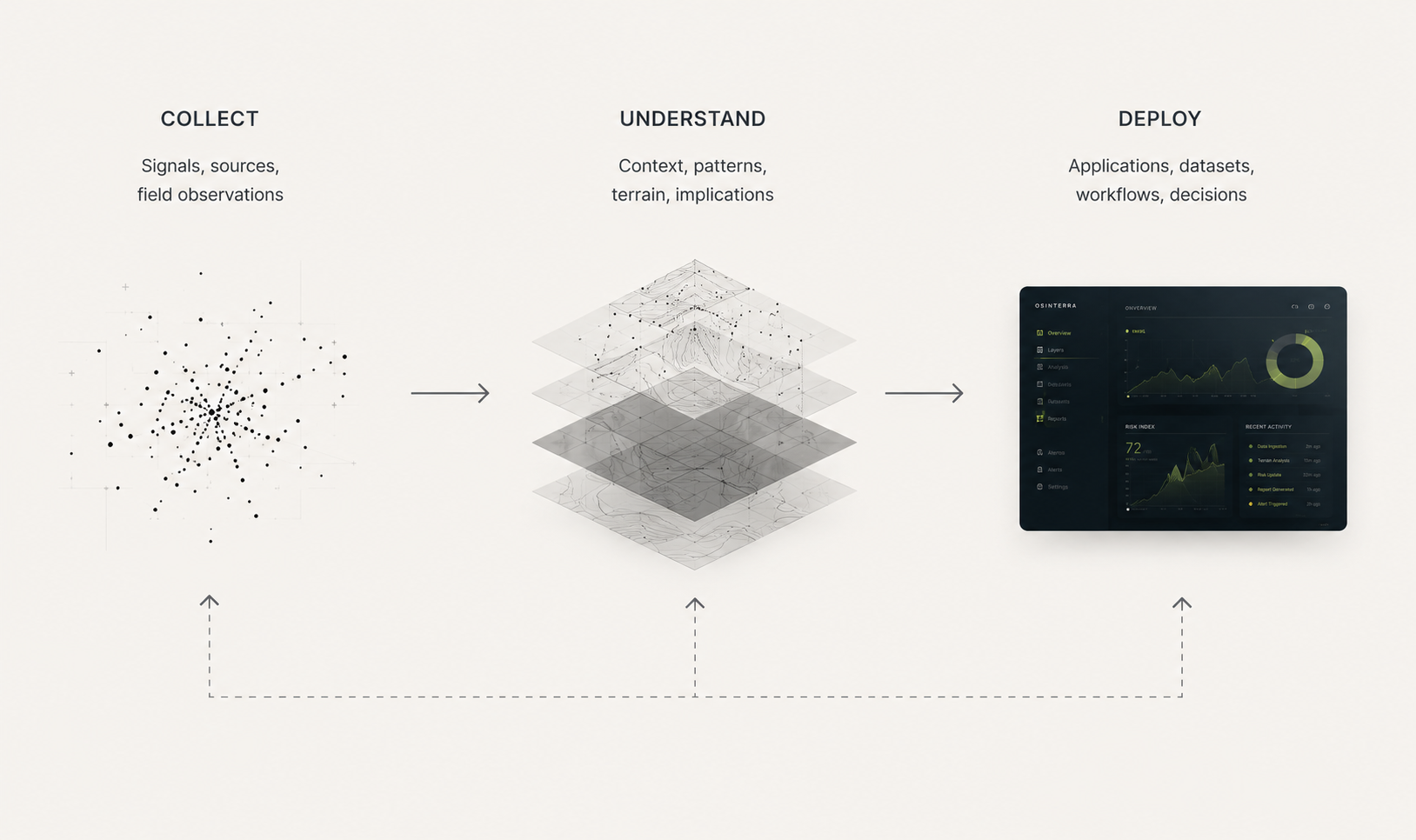

Bring us a complex problem.